

Advanced Aerial Solutions for Every Industry
Certified drone pilots delivering high-resolution aerial data, thermal imaging, 3D mapping, and LiDAR surveys across the GTA and across Canada.
Our Capabilities
What We Can Do From Above

Aerial Inspections
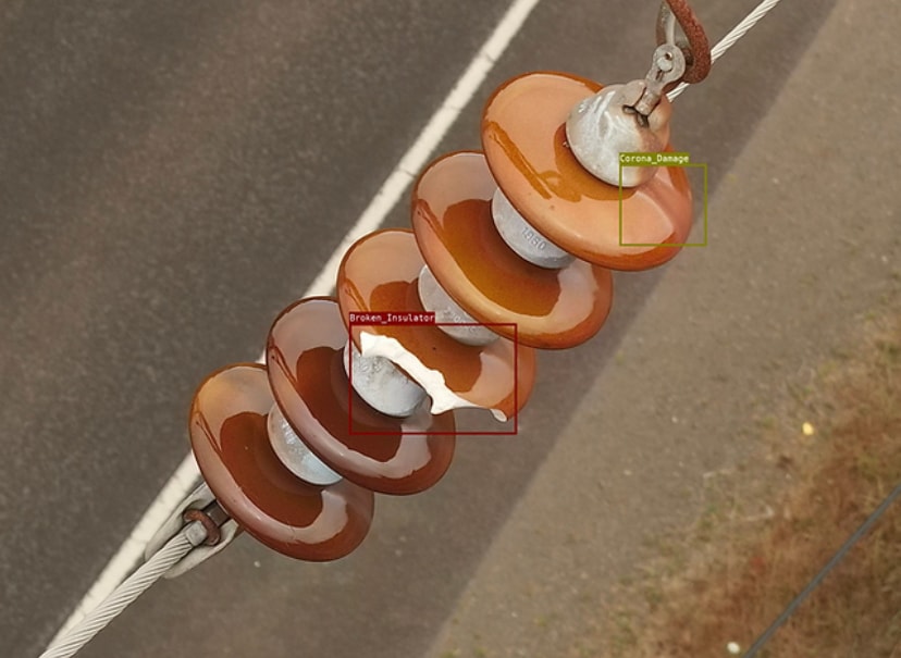
Detailed roof, facade, and infrastructure inspections using high-resolution cameras. Get comprehensive reports with annotated imagery — without scaffolding or ladders.
- Roof & TPO membrane surveys
- Building facade assessments
- Solar panel inspections
- Bridge & tower inspections
Thermal Imaging
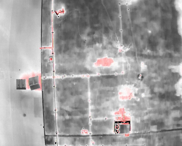
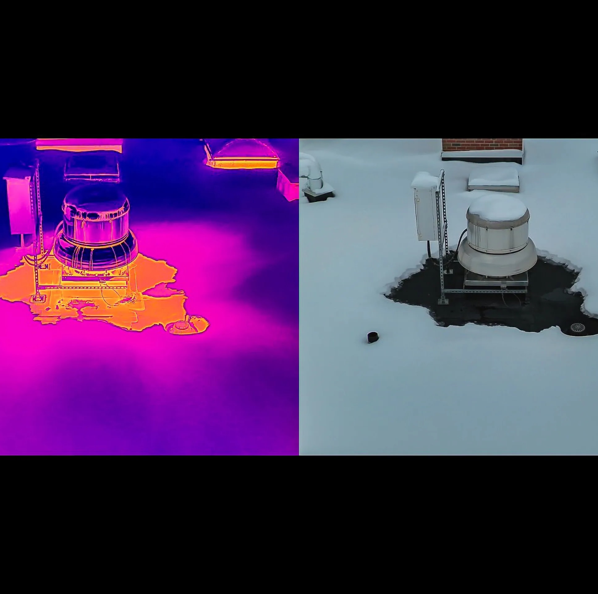
Infrared drone surveys reveal what the naked eye can't see — heat loss, moisture intrusion, electrical hot spots, and HVAC inefficiencies from a safe aerial vantage point.
- Heat loss & insulation gaps
- Moisture & water intrusion
- Electrical fault detection
- HVAC performance analysis
3D Mapping & LiDAR
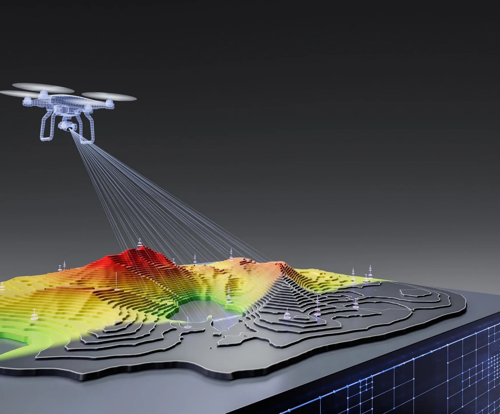
Precision aerial mapping and point cloud generation for surveying, construction planning, and land management. Deliverables include orthomosaics, DEMs, and 3D models.
- Topographic surveys
- Construction progress tracking
- Stockpile volume calculations
- Site planning & design
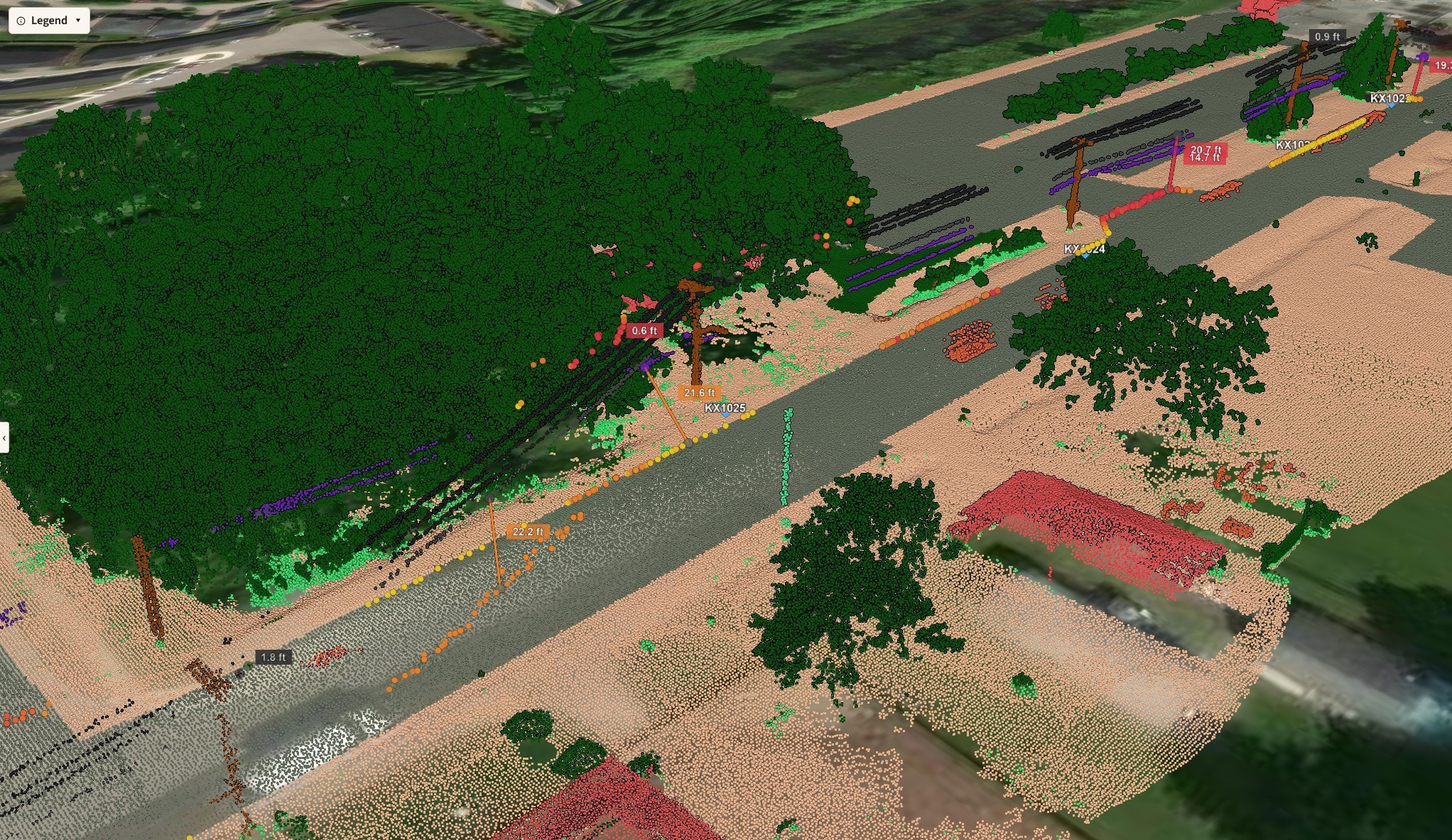

Vegetation & Utility Monitoring
Monitor crop health, detect encroachment along utility corridors, and track land-use changes over time with multispectral and RGB aerial imagery.
- Utility corridor monitoring
- Agricultural crop health
- Vegetation encroachment
- Environmental assessments
How It Works
Simple, Professional, Reliable
Consultation
We discuss your project goals, site conditions, and deliverable requirements to build the right flight plan.
Flight & Data Capture
Our certified pilots conduct the mission safely and efficiently, capturing all required data in a single mobilization.
Processing & Analysis
Raw data is processed using industry-leading software to produce accurate, actionable outputs.
Report Delivery
You receive a detailed report with annotated imagery, measurements, and recommendations — typically same day.
Industries We Serve
Built for Your Sector
Need Aerial Data for Your Project?
Contact us to discuss your requirements and get a custom quote. We serve the GTA and across Canada.